Synopsis
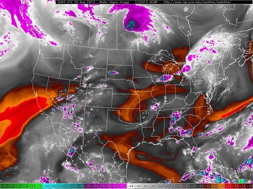
After a hot and sunny work week we'll continue to deal with Mid-South heat as a hotter than average start to meteorological fall begins this weekend. However, the overall weather pattern is certainly more interesting than the previous week, with chances for rain entering the forecast. This potentially wet weather could also bring some relief to high temperatures heading into next week, but first let's focus on labor day weekend.Weather Analysis


William's Memphis Forecast
Sunday: Partly cloudy with a high of 96, low of 77. Slight chance of showers/t'storms.
Monday: Mostly cloudy with a high of 94, low of 75. Chance of showers/t'storms.
--William Churchill, MWN Social Media Intern
----
Follow MWN on Facebook, Twitter, and Google+
Visit MemphisWeather.net on the web or m.memphisweather.net on your mobile phone.
Download our iPhone or Android apps, featuring a fresh new interface and StormWatch+ severe weather alerts!

No comments:
Post a Comment