
With the passage of a
cold front this morning, parts of the metro area saw a few quick-hitting
showers to start the day. As the system moved to our south this afternoon,
mostly sunny skies returned to the area,
but the biggest impact of this front’s passage will be felt beginning
tonight and continuing through Thursday as below-normal temperatures make an
unusual stop in the Mid-South, at least considering the past few months!
With Canadian high
pressure settling in from the north, the cooler temperatures will begin
filtering in to the area under northeast winds this evening. Expect numbers in
the mid 40s across most of the metro when you wake up Wednesday morning, with
temperatures only rising into the mid 60s during the afternoon even under
sunny skies.
However, as the high
pressure area makes it closest approach to the region late Wednesday, and winds
lighten, the setup will be in place for the coolest night in the Mid-South in
about a month, as readings in the city of Memphis drop into the lower 40s by
Thursday morning. Outlying areas of the metro will likely dip into the upper
30s. At this time, the threat for any frost looks to remain mostly north and
east of the metro area with freezing conditions possible closer to the
Tennessee River.
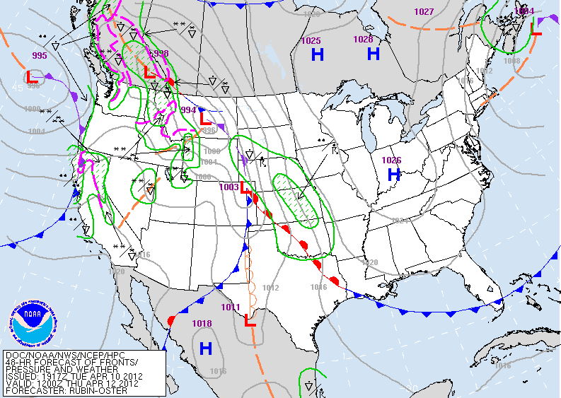 |
| NWS forecast for Thursday morning, as high pressure makes closest approach to the Mid-South, in southern Indiana |
By that time, a slow
moving cold front will finally begin to gain some momentum and head east toward
the Mid-South, increasing our rain and thunderstorm chances for Monday night into
Tuesday. It’s unclear at this point whether this system will bring any threat
of severe weather to our area, but confidence is starting to increase in this
period being the most active over the next week. More details will emerge as
the week progresses on this system’s impacts to the Mid-South.
 |
| GFS model forecast for Tuesday morning, April 17th, depicting cold front just west of the region |
--Kevin Terry, MemphisWeather.Net
----
For weather information for Memphis and the Mid-South, where and when you need it, visit MemphisWeather.net on the web, m.memphisweather.net on your mobile phone, download our iPhone or Android apps, or visit us on Facebook or Twitter.
No comments:
Post a Comment