
 |
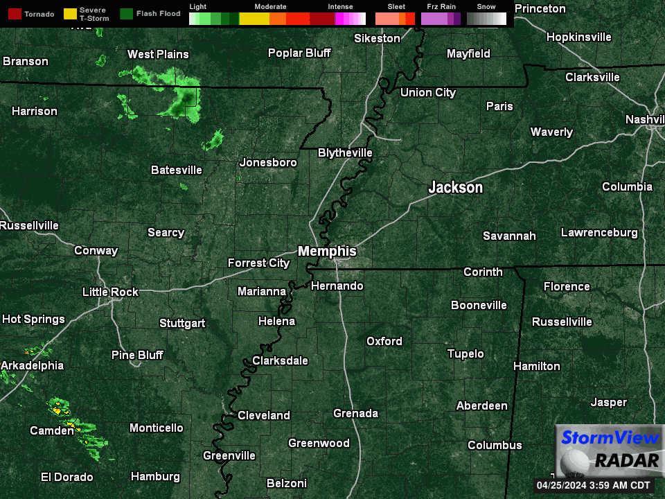
| Current loop from StormView Radar |

No, not that annoying clipper... one from Alberta, Canada! But feel free to "T" this one up too if you want, as it'll bring another round of #StupidCold to the Mid-South by mid-week. (Off-topic: man, I still miss Z-Bo... go ahead, watch that loop a few more times. I digress...) The clipper will also be partially responsible for our next snow event right on its heels Monday night into Tuesday morning. Given that we are still recovering from one snow day and continued impacts, perhaps this one comes #TooSoon?
What to Expect
One the plus side: no ice and relatively minor amounts. On the negative side: very cold air results in high snow ratios as we head towards Tuesday morning rush hour.So what do we expect with this system? Temperatures will fall below freezing Monday evening, but the roads will likely retain a little of the daytime heat as light snow begins to fall before midnight, resulting in initial melting and wet streets. As the night goes on, snow chances increase and temperatures continue to drop as Arctic air pours in. If the European and NAM models are correct, snow appears likely after midnight through about 8-9am Tuesday morning. By the time light snow ends, temperatures will likely be near or just below 20°.
 |
| High-resolution NAM model forecast temperatures at 6am Tuesday. It shows 21° in Memphis. (WxBell) |

So how much snow are we talking? Between 9pm Monday and about 9am Tuesday, I think an inch is a fairly decent bet, but with higher snow ratios, 1-2" feels like a good possibility, especially south of I-40 where I believe the slightly higher amounts could occur vs. north of I-40. (Oh, you don't like I-40 always being the dividing line? OK, I'll use Highway 70, which no one in MS knows anything about. See what I mean - you have to use an interstate. But again, I digress...)
Below, see the average from the European ensemble members (at a 10:1 snow ratio), as well as the NWS forecast:
 |
| The European model ensemble (51 Euro models run with slightly different parameters) average snowfall is shown above given a 10:1 snow ratio. Above, we talked about how it could be higher, thus snow totals could be underestimated, but only if this model is even correct. (weathermodels.com) |

Road Conditions
As far as expected road conditions are concerned, once again very cold air could come into play. I can't help but look back to January 28, 2014, when Birmingham and Atlanta experienced "Snowmageddon" with only 1-2" of snow. Do you know why it was such a major event? Not because "it's the south," but because it was about 20°, the snow melted a bit on initial contact from warmth the day before and warm tires driving on it, then it essentially "flash froze," creating a massive skating rink. Our forecast conditions are nearly identical. The exception may be that their snow began around the morning rush hour when warm tires were prevalent, whereas most of our event will occur overnight with light traffic. Perhaps that limits the possibility of a devastating event like Snowmaggedon, as the light snow could stick to the ground overnight and the tires driving on it won't melt it. I simply don't know how roads will be impacted, but I raise the possibility of a treacherous commute because I have seen it before in these conditions. We won't know until it happens. Here's how an NWS forecaster in Amarillo describes this setup, borrowed from the AlabamaWx blog:“We typically get our worst travel problems and most accidents with 1-2 inches of snow. It actually seems like we have more problems with the dry, powdery snows than the wet, slushy snows. Just from my short experience out here, air temperatures of 28 F and lower seem to be when snow and ice accretion really start developing quickly on the roads.” - NWS-Amarillo Meteorologist
Other impacts
I believe the airport will fare better than Friday's event, mainly because most of the snow falls at a low traffic time and dry snow is much easier to deice than sleet. As always, you'll want to check with your airline if you fly through Memphis on Tuesday and of course allow plenty of time to get to the airport - double your normal travel time, or more.I still won't predict school closings, though this one feels more like a "get up in the morning and see how it looks" kind of event. Friday's was easier with ice predicted during the morning commute. This event is not the same. Road conditions Tuesday morning will likely drive the decision.

Once again, with a #StupidCold airmass in place, low temperatures could get down into the upper single digits on Wednesday morning (especially if there is snow cover), and only reach the mid 20s both Tuesday and Wednesday. We won't be back above freezing until mid-day Thursday. Impacts could be prolonged once again. Click here to check the MWN Forecast for this week's temperatures.
Forecast Bust Potential?
There always is. In this case, not all models are sold on anything more than a light dusting. In fact, the American GFS model is one of those that is not convinced. I currently favor the European model, which has been very consistent for several days, and in fact, drops more snow than we are currently forecasting (as much as double). The American-born NAM Nest model, which is much higher resolution and only available out to 60 hours, agrees with the global Euro model, but with a bit less snow. None predict ice, and all are sold on very cold air by Tuesday morning.We'll have the latest on Monday with another blog or perhaps video on Monday night so you can plan accordingly for Tuesday morning. Perhaps a 4-day weekend turns into 5 days?? Time will tell!

In the meantime, download the MWN mobile app for radar, current conditions, human-generated forecast, and the latest from our social media feeds, which are all also linked below!
Erik Proseus
MWN Meteorologist
----
Follow MWN on Facebook, Twitter, and Google+
Visit MemphisWeather.net on the web or m.memphisweather.net on your mobile phone.
Download our iPhone or Android apps, featuring StormWatch+ severe weather alerts!
 | |
| MWN is a NOAA Weather Ready Nation Ambassador | Meteorologist Erik Proseus is an NWA Digital Seal Holder |
No comments:
Post a Comment