 |
| Latest MWN StormView Radar loop (refresh if the time doesn't appear current) |
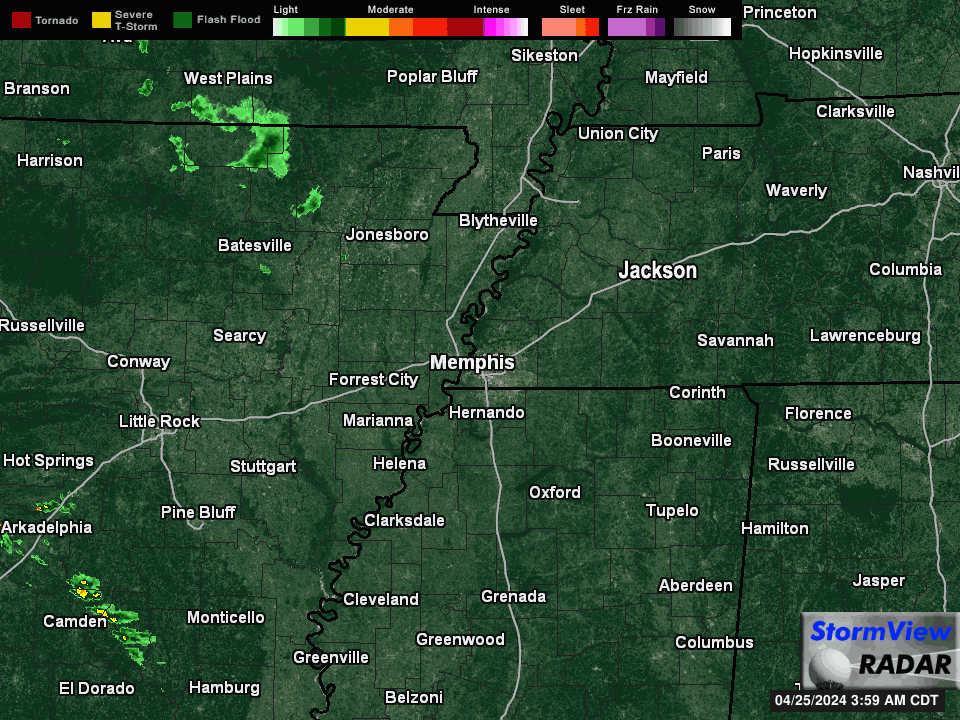
As of 3pm Monday, light showers are moving through the Mississippi Delta and portions of Arkansas well to our south and west. The lightest echoes on the scope are not reaching the ground as we still have a pretty good amount of dry air in place below the cloud bases, so the dry air monster is drinking up all the falling rain before it reaches the ground. In addition, we're on the periphery of high pressure to our east so the rain is falling apart a bit as it runs into the high. A few sprinkles or a light shower are possible this evening, but don't change any plans.
 |
| Looking up into the atmosphere this afternoon, there is signficant dry air (where the temperature and dewpoint are far apart) between the ground and the cloud bases. The dry air monster will get the majority of falling precipitation initially until he finally drinks too much and collapses in a stupor. |
As we head into the overnight hours and Election Day, a cold front will be pushed towards the region by high pressure over the western U.S. that builds east. The front won't move through the local area until Tuesday evening at the earliest. That sets the stage for Election Day showers. Rain is not expected to be heavy and there's a better chance that Gary Johnson wins the Presidential election than thunder occurring in the metro. In other words, the current drought will scoff at the precipitation's attempt to mitigate the dryness and you shouldn't be dissuaded from exercising your democratic right, should you wish to.
 |
| The likelihood of 1/4" of rain in the Mid-South is less than 50% according to NOAA. This front won't be a big rain producer. |
Behind the front, skies clear by Wednesday and temperatures take another step down with highs in the 60s to near 70 and lows mainly in the 40s for the rest of the week into the weekend (
click here for the official MWN Forecast, or check the app linked below). I believe that's weather that we definitely can agree on more than anything related to politics! Fall is here!
Erik Proseus
MWN Meteorologist
----
Follow MWN on
Facebook,
Twitter, and
Google+
Visit
MemphisWeather.net on the web or
m.memphisweather.net on your mobile phone.
Download our
iPhone or Android apps, featuring
StormWatch+ severe weather alerts!
 |  |
| MWN is a NOAA Weather Ready Nation Ambassador | Meteorologist Erik Proseus is an NWA Digital Seal Holder |


No comments:
Post a Comment