
At the upper levels, which drives how the rest of the atmosphere behaves, a large ridge of high pressure extends from the Southern Plains northeast towards the Great Lakes and is shifting east into the eastern U.S. Meanwhile, a large scale trough over the western U.S. will also push east into the Plains by this weekend.
 |
| As of Tuesday evening, a ridge of high pressure at the upper level (30,000') (which looks like a hill in the black contoured lines above) is situated from the western Gulf Coast towards the Great Lakes, causing weather systems in the Plains to move northeast around the ridge and somewhat protecting the Mid-South. |
 |
| By later in the week (Friday night, as shown), the upper level ridge shifts east and the mid-levels (18,000', shown here) respond with southerly air flowing into the region as storm system are allowed to get closer to the Mid-South with the ridge shifting east. |
 |
| Near the surface (5,000'), the Bermuda High (high pressure centered over the southeastern U.S. coastline), keeps weather systems from intruding too far east. Being on the periphery of the high, the Mid-South sees increasing chances of rain from east to west, with areas west of the Mississippi River having higher chances than those of us east of the river. |
Occasionally the systems to the west brush the area and bring us thunderstorm chances, but those are hard to determine more than 24-36 hours out which will fall apart as the encounter the ridge to our east and which will bring elevated chances of thunderstorms. Thus we are left with low chances of thunderstorms each day, some of which may not actually materialize and some which could bring a strong storm or two, as well as localized downpours!
It appears the best chance of more widespread storms in the metro may be in the Thursday night to Friday night time frame as the Plains trough is able to move into western parts of the Mid-South before high pressure re-builds heading into the weekend.
 |
| Total rainfall from Friday morning to Saturday morning according to the GFS model is nearly 0.5", so rain chances are expected to be higher to end the week before they fall again heading into the weekend. |
Heading into the weekend, as mentioned, high pressure begins to build once again, reducing rain chances to low end "chance" possibilities, as a possible tropical or subtropical system develops off the southeast U.S. coastline. Atlantic hurricane season begins next Wednesday, but with Alex having developed in January, Mother Nature may not wait until June 1 to throw another named storm our way!
 |
| The American GFS model projects an area of low pressure over the Gulf Stream off the SC coastline on Sunday evening. Could this end up being Tropical Storm Bonnie? |
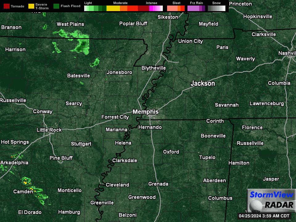 |
| Latest regional view from MWN StormView Radar |
Erik Proseus
MWN Meteorologist
----
Follow MWN on Facebook, Twitter, and Google+
Visit MemphisWeather.net on the web or m.memphisweather.net on your mobile phone.
Download our iPhone or Android apps, featuring StormWatch+ severe weather alerts!
 | |
| MWN is a NOAA Weather Ready Nation Ambassador | Meteorologist Erik Proseus is an NWA Digital Seal Holder |
No comments:
Post a Comment