
A Tornado Watch has been posted for much of the metro, as well as a good part of AR, until 2am (see map below). We've been asked "why a tornado watch? I thought this was a straight-line wind threat?" Two reasons:
- The same watch box covers areas to our west in AR where the tornado threat is a bit higher than here in the metro. Therefore, a Tornado Watch was issued.
- The tornado threat, while very low, is not zero in the metro. Out of an abundance of caution, a Tornado Watch was issued. We expect MAINLY a damaging wind threat in the metro, however, wind shear is present and any supercells that form in the squall line later this evening could briefly spin up tornadoes.
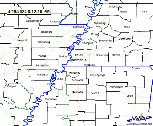 |
| Current watches and warnings in the Mid-South. Yellow fill is a Tornado Watch, orange hatch is a Severe T'storm Warning. |
Our thoughts on timing and specific threats have not changed from our earlier post this afternoon. You'll find those below, as well as our fabulous weekend outlook and ways you can stay informed throughout the evening. Now is also a good time to charge your devices and prepare for possible power outages due to high wind later tonight.
-EP
ORIGINAL POST (1:30pm Thursday):
The atmosphere is quite unsettled in the Mid-South this afternoon. Warm and muggy with scattered showers and thunderstorms is not exactly the type of weather you think of for early October! However, this will quickly change as a cold front sweeps through the Mid-South early tomorrow, ushering in much cooler, drier air that is more expected in early October. However, before we look forward to the beautiful weather this weekend we'll have to focus on the chance for strong to severe storms tonight.
 |
| The Storm Prediction Center is indicating damaging winds as the primary severe weather threat heading into tonight. If you're in the red area (including the metro), there is a 30% chance of 60+ mph wind within 25 miles of you. |
For the remainder of today you can expect scattered showers and t'storms to continue with no severe weather expected. After 9 PM tonight, that will change as a squall line approaches the area. The primary severe threat associated with this line of thunderstorms will be damaging straight line winds. Although we cannot rule out hail or an isolated tornado, it appears the best chance of these threats will remain west of the metro. Expect the strong to severe line of storms to be departing the eastern side of the metropolitan area no later than 1 AM. We expect the storms to last no more than a couple of hours at any one point and the squall line itself will be pretty fast moving.
 |
| Modeled reflectivity at 11 PM tonight from the HRRR weather model, or what the radar MAY look like. This is not an official forecast, just one possible solution. |
Once the cold front has passed through in the early morning hours, expect those warm and muggy conditions to be quickly shoved out, bringing in much-welcomed crisp October air. Temperatures tomorrow will struggle to warm to 80 degrees with a gusty northwest wind continuing to usher in cooler, drier air throughout the day. With such dry air in place this weekend we're expecting temperatures to dip all the way down to the mid 40's in many areas Saturday and Sunday mornings! You'll need to grab a jacket if you're heading out early anytime this weekend, as it will feel quite chilly! In fact, the afternoon hours Saturday will feature temps in the 60s and a cool breeze. Sunday will see temps begin to rebound back into the 70s as wind becomes southerly.
 |
| Weather Prediction Center Forecast for Friday, showing the cold front through the Mid-South |
Be safe tonight, then get ready for a fabulous fall weekend!
Erik Proseus, MWN Meteorologist
William Churchill, MWN Social Media Intern
----
Follow MWN on Facebook, Twitter, and Google+
Visit MemphisWeather.net on the web or m.memphisweather.net on your mobile phone.
Download our iPhone or Android apps, featuring StormWatch+ severe weather alerts!
No comments:
Post a Comment